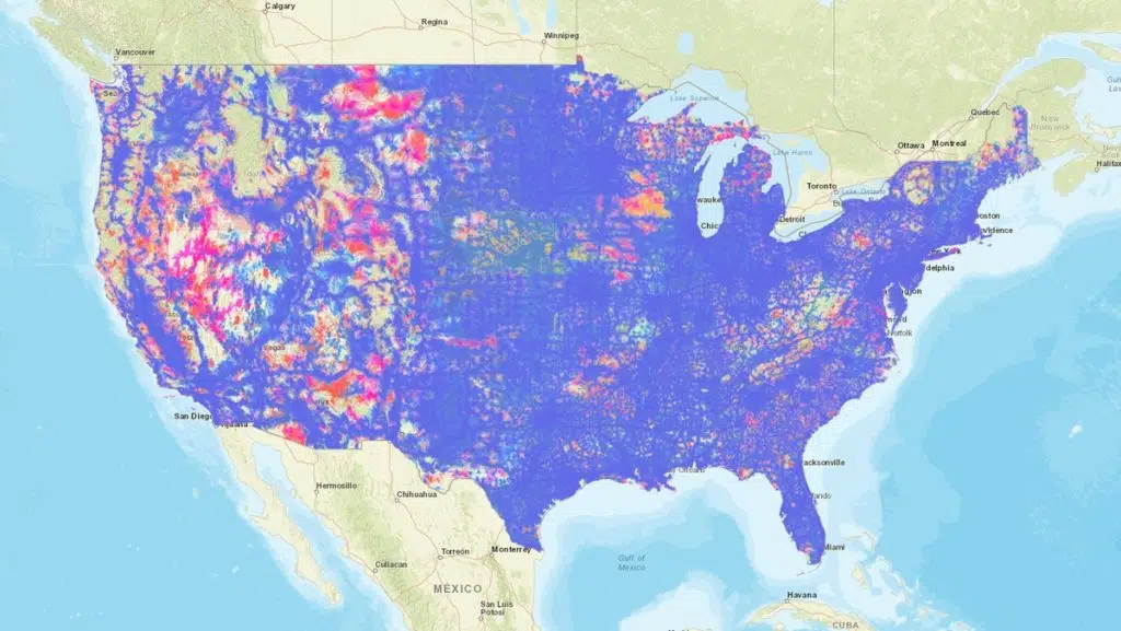
The FCC has published an updated mobile broadband map of the U.S. based on data collected in recent months. It follows a request in April for people to use its internet speed test app as part of its Measuring Broadband America program. It also includes data voluntarily provided from AT&T, T-Mobile, US Cellular, and Verizon.
Users can use the new tool to select which providers are displayed on the map. The data is accurate as of May 15. The FCC also announced it will be holding a webinar on August 12 regarding “technical details surrounding the challenge and verification processes for its mobile maps,” as well as other proposals involving federal procurement contracts.

This is the first public map showing updated mobile coverage released by the FCC and represents a significant improvement over other data previously published by the agency. It also serves as a public test of the standardized criteria developed to facilitate improved mapping under the Broadband DATA Act.